
Historic Maps of Tod Inlet and the Butchart Gardens
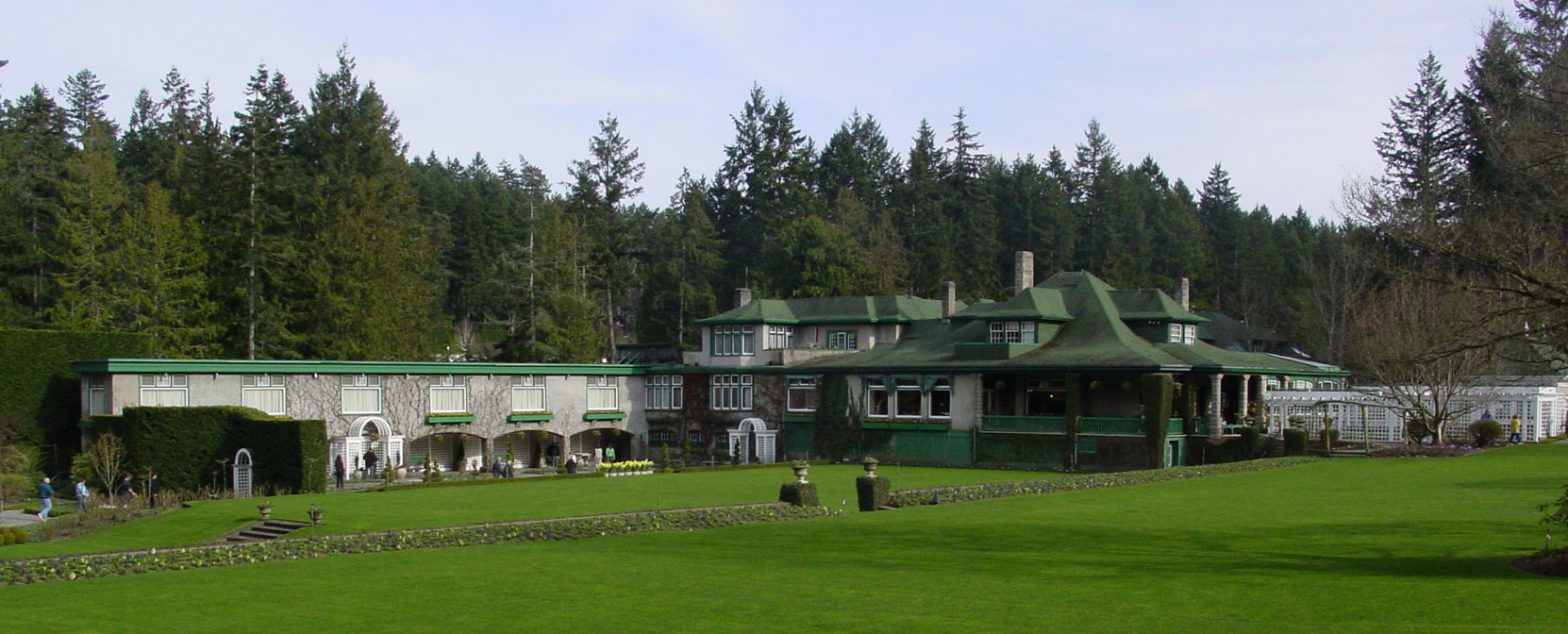
The Butchart Gardens are located in the South Saanich Land District and occupy parts of Sections 13, 14 and 15 of Range 2 West and parts of Sections 14 and 15, Range 1 West of the District.
The earliest surviving map showing these legal boundaries is a cadastral map of the South Saanich Land District, dated 1859, containing details of land surveyed and of land ownership for tax purposes. This 1859 cadastral map is in the B.C. Archives collections.
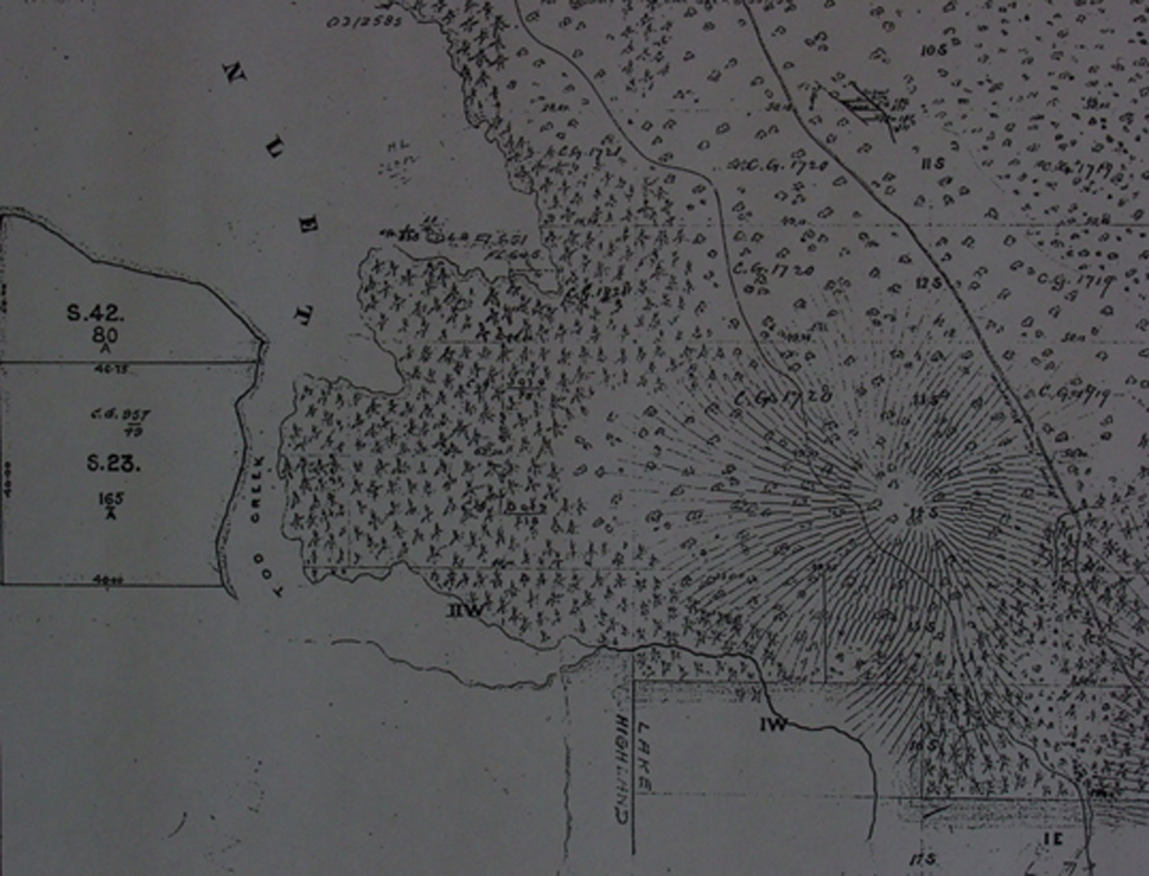
Also see our page on Historic Maps of Tod Inlet and the Butchart Gardens.
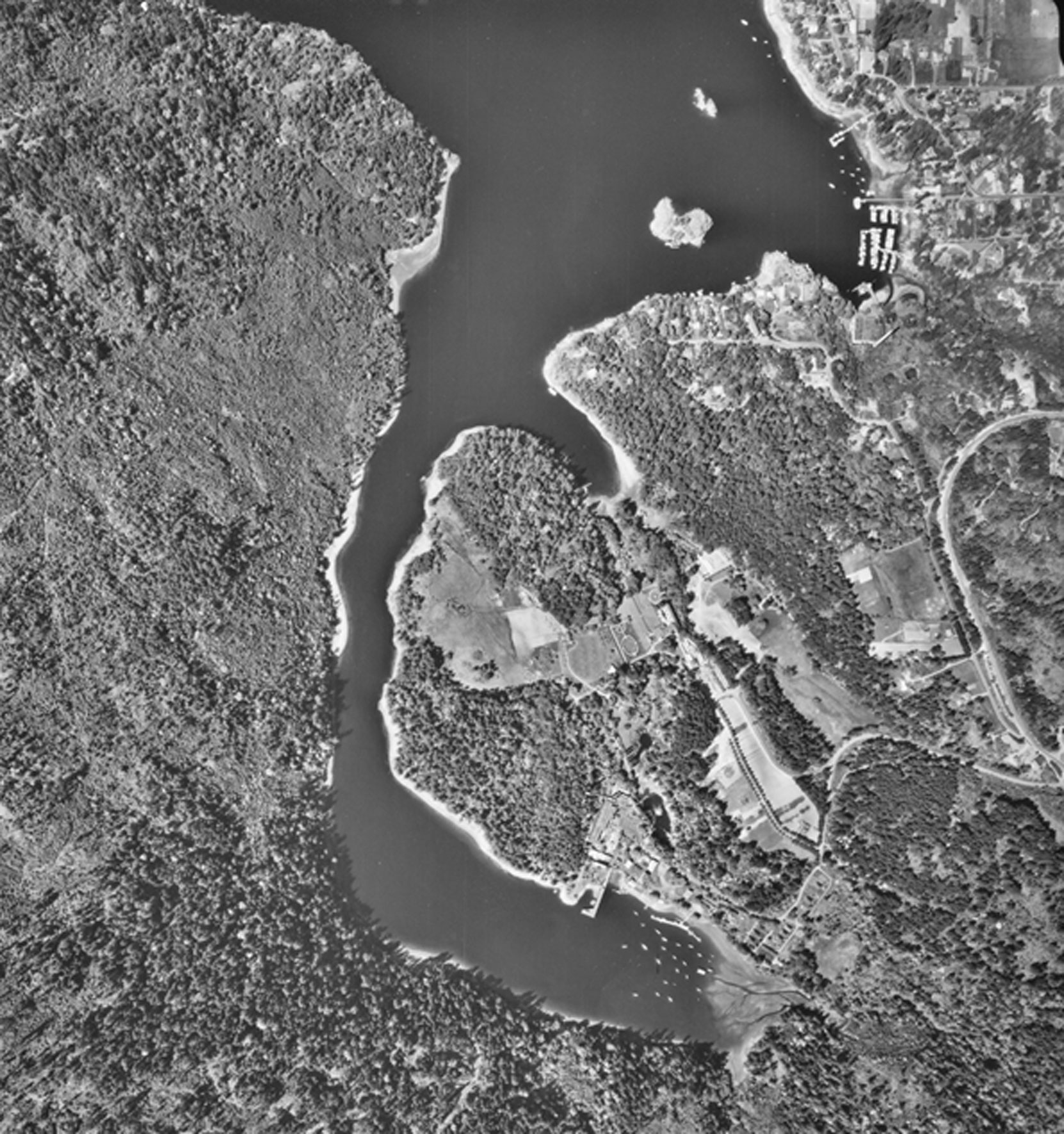
For comparison purposes, here is a 1964 aerial photograph on Tod Inlet and the Butchart Gardens.
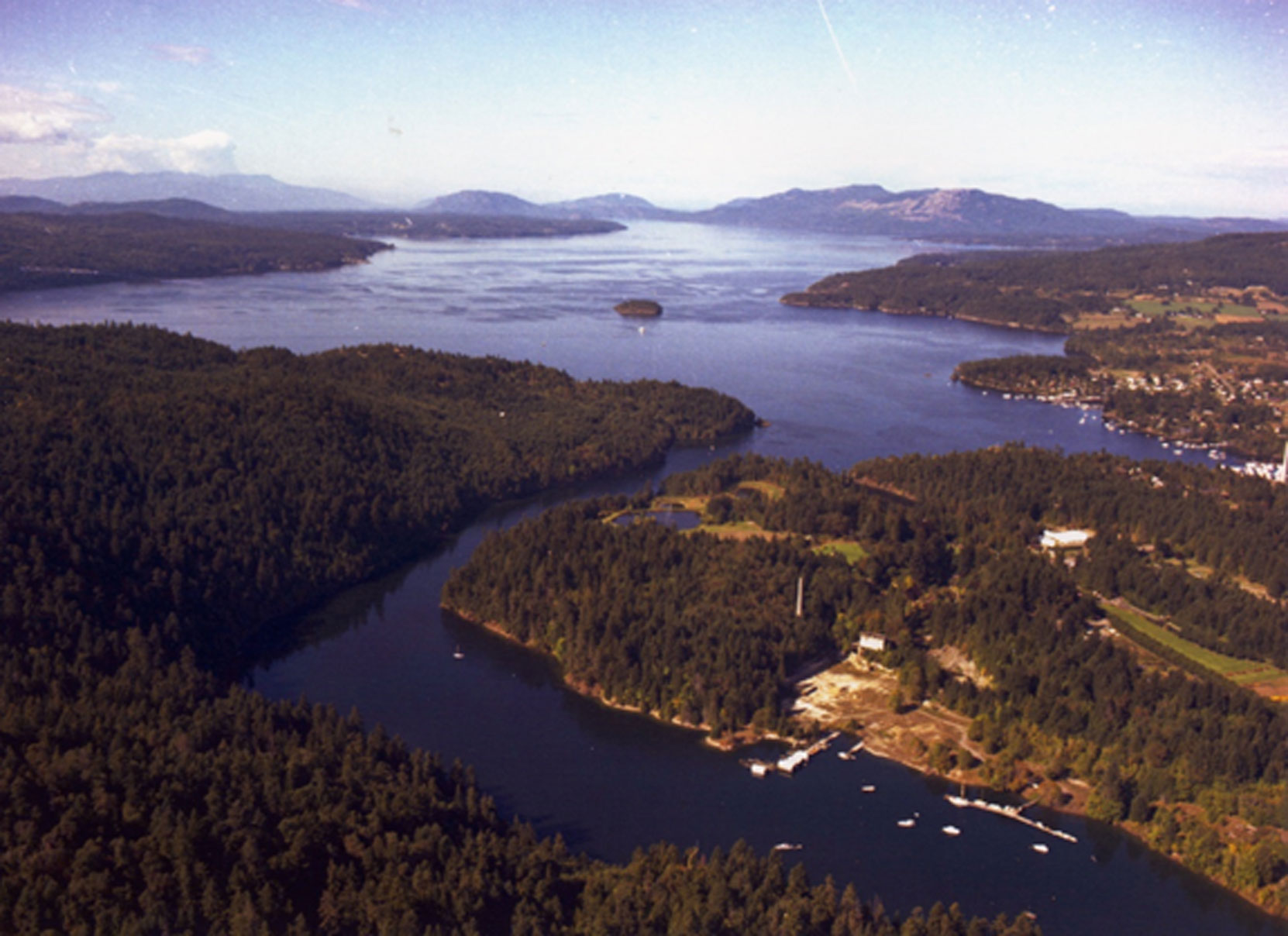
Here is a 1986 aerial photo of Tod Inlet and the Butchart Gardens looking from south to north:
Would you like to leave a comment or question about anything on this page?